ABOUT KANGCHENJUNGA
> Home > About Kangchenjunga

Mounts Jannu (left) and Kangchenjunga (right)
Where we operate
KSP spans the District of Taplejung in north-eastern Nepal. See Map
The region is surrounded to the north and east by a circ of mountains, including the world’s third highest,
Mount Kangchenjunga (8584m). These mountains are drained by the Kabeli, Simbuwa, Gunsa, and Yangma Rivers, which eventually,
in India, join the Ganges and run to the sea in the Bay of Bengal. By any measure, their deep,
steep-sided valleys are rugged terrain.
Beyond the mountains lie Tibet (China) to the north and Sikkim (India) to the east.
Taplejung (4730 ft, 1370m) is the principal town and administrative centre for surrounding villages.
The villages range in altitude from 2300 ft (700m) at Hangpang to 11,000 ft (3300m) at Ghunsa.
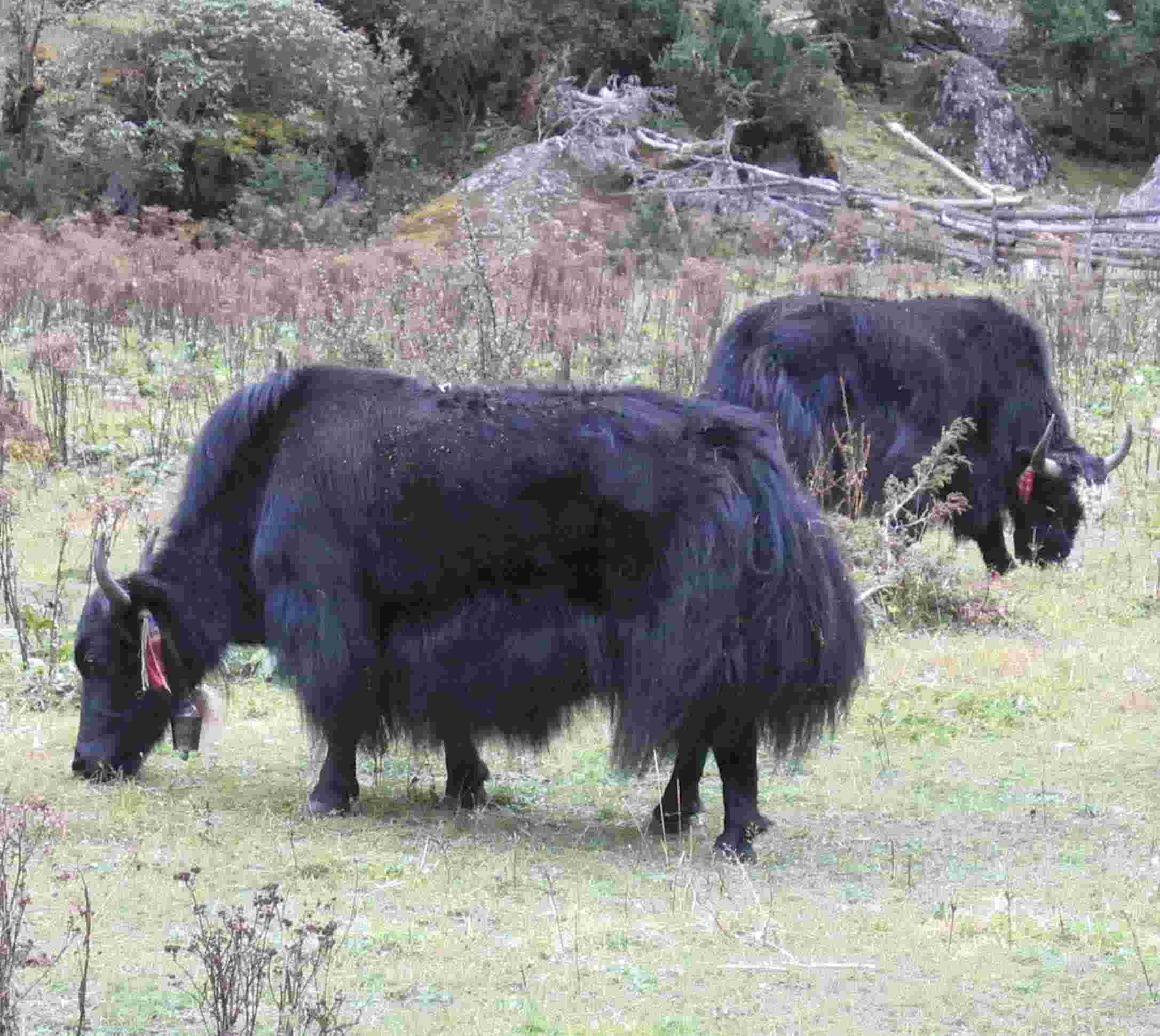
There are no roads beyond Taplejung, and no beasts of burden except yaks, which are used above 10,000 ft.


